Geoprocessing
Meeting the rising demand for proper information to help decision-making on urban, rural and environmental issues, the Geoprocessing appears as an important tool for information generation, management and analysis, giving accurate and insightful allowances for decisions.
In this way, in 2009, the Geoprocessing area from MultiGeo started its activities aiming to meet the internal needs of environmental and mining projects. Nowadays we are qualified to attend project implantation and structuring of Geographic Information System (GIS).
Our services include:
Global Positioning System (GPS)
- Direct communication with the GPS in order to insert and capture information with great speed and accuracy
- Navigation by cartographic bases (topography, geology, aerial photos, among others) in real time, providing the fieldwork team with precise information and great agility
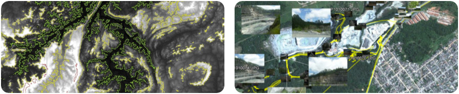
Remote Sensing
- Treatment of satellite images in order to identify specific targets
- Analysis of topographic data from NASA SRTM project
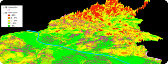
Geographic Information System (GIS)
- Development, implantation and management of Geographic Information System
- Creation and feeding of databases
- Geographic data
- Spatial analysis, map algebra and modeling
- Data integration platforms based on Google Earth®, an important tool for the popularization of spatial data analysis